Skip to Content

Hydrometric Information

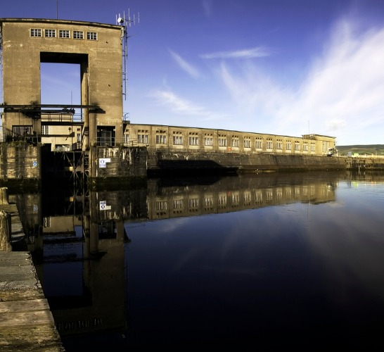
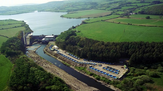
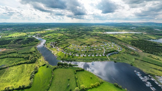
Our five hydroelectric stations have a combined production capacity of 220MW located on five rivers across Ireland. Together, they provide enough renewable electricity to supply approximately 180,000 homes, farms and businesses, contributing to our Driven to Make a Difference: Net Zero by 2040 strategy.

Getting our hydro stations ready for winter

Each of our hydro stations is unique, and we must carefully manage water levels at their reservoirs during floods or drought. Each summer we carry out our essential maintenance programmes, to service and repair our turbines, and inspect our dams and structures. We are currently completing final maintenance tasks in preparation for the upcoming winter.

Learn More

Our Role on the River Shannon

We have a statutory role to generate electricity at Ardnacrusha as outlined in the Shannon Electricity Act 1925, Electricity Supply Act 1927 and Electricity Supply (Amendment) Act 1934. In broad terms, this legislation permits us to generate electricity at our Ardnacrusha generation station in Co Clare and to manage the weirs, sluices and other works that are part of the Shannon Scheme.

Learn More

Water level information

We continuously measure the water levels and flow and provide daily/hourly hydrometric information for each of the hydro stations we manage. We have to carefully manage water levels at their reservoirs during floods or drought, closely monitoring rainfall throughout the year to plan necessary works and anticipate action in response to adverse weather events.  

Shannon hydrometric forecast can be viewed here
Levels in metres above Poolbeg ordnance datum (mOD) for the following locations along the Shannon can be viewed here -
Total flow in cubic metres per second (m3/sec) for the following locations can be viewed here -

Liffey hydrometric forecast can be viewed here
Levels in metres above Poolbeg ordnance datum (mOD) for the following locations along the Liffey can be viewed here -
Total flow in cubic metres per second (m3/sec) for the following locations can be viewed here -

Levels in metres above Poolbeg ordnance datum (mOD) for the following locations along the Lee can be viewed here -
Total flow in cubic metres per second (m3/sec) for the following locations can be viewed here -


Levels in metres above Poolbeg ordnance datum (mOD) for the following locations along the Erne can be viewed here -
Total flow in cubic metres per second (m3/sec) for the following locations can be viewed here -


Flood management

When rain events occur, we seek to store or divert the large inflows of water to minimise the risk of flooding. As all our hydro stations and the river systems where they operate are unique, there are different options available to deal with these situations when they occur.  

What do we do at our Ardnacrusha Generation Station during a flood?

Our Ardnacrusha Generation Station in Co Clare has an important role to play in diverting water from the main River Shannon during a flood event.

Watch Video

How much water is discharged from Parteen Weir in a flood?

During a flood, water levels at Parteen Basin are managed to ensure they remain within the safe operating band by not releasing too much or too little water from Parteen Weir.

Downloads

Ireland Overview Map

PDF | 5MB

Shannon Map

PDF | 69KB

Shannon Infographic

JPG | 3MB

Liffey Map

PDF | 4MB

Liffey infographic

JPG | 3MB

Lee Map

PDF | 4MB

Lee Infographic

JPG | 3MB

Erne Map

PDF | 4MB

Erne Infographic

JPG | 3MB

Useful Links